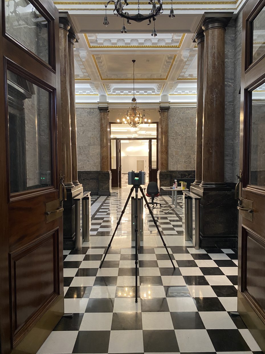

Measured Surveys
A Measured Survey is the process of acquiring spatial information and transforming measurements into tangible data sets. This can include topographical drawings, lease plans, and detailed building drawings including floor plans, sections, and elevations. It can also involve quantifying the usable area of a property using different calculation methods such as Net and Gross internal area (NIA & GIA) and International Property Standard (IPMS).
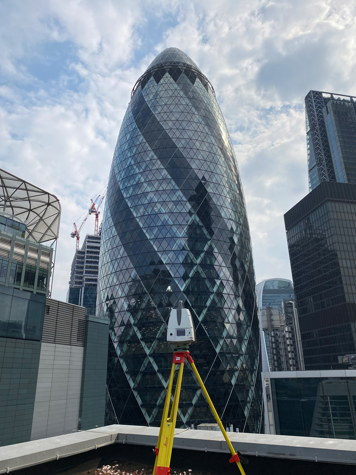
Partnering with leading manufacturers and property tech, GIA has exclusive access to state-of-the-art technology and digital platforms such as VU.CITY and F!ND maps. In the City of London we have an expanding network of over 30+ permanent survey stations. All have been measured from point to point and transposed onto National Grid and Datum. This provides our clients with an instant advantage from the outset and is particularly useful in areas of the city where some of tallest buildings in the UK are built, historically difficult to obtain GPS signals.