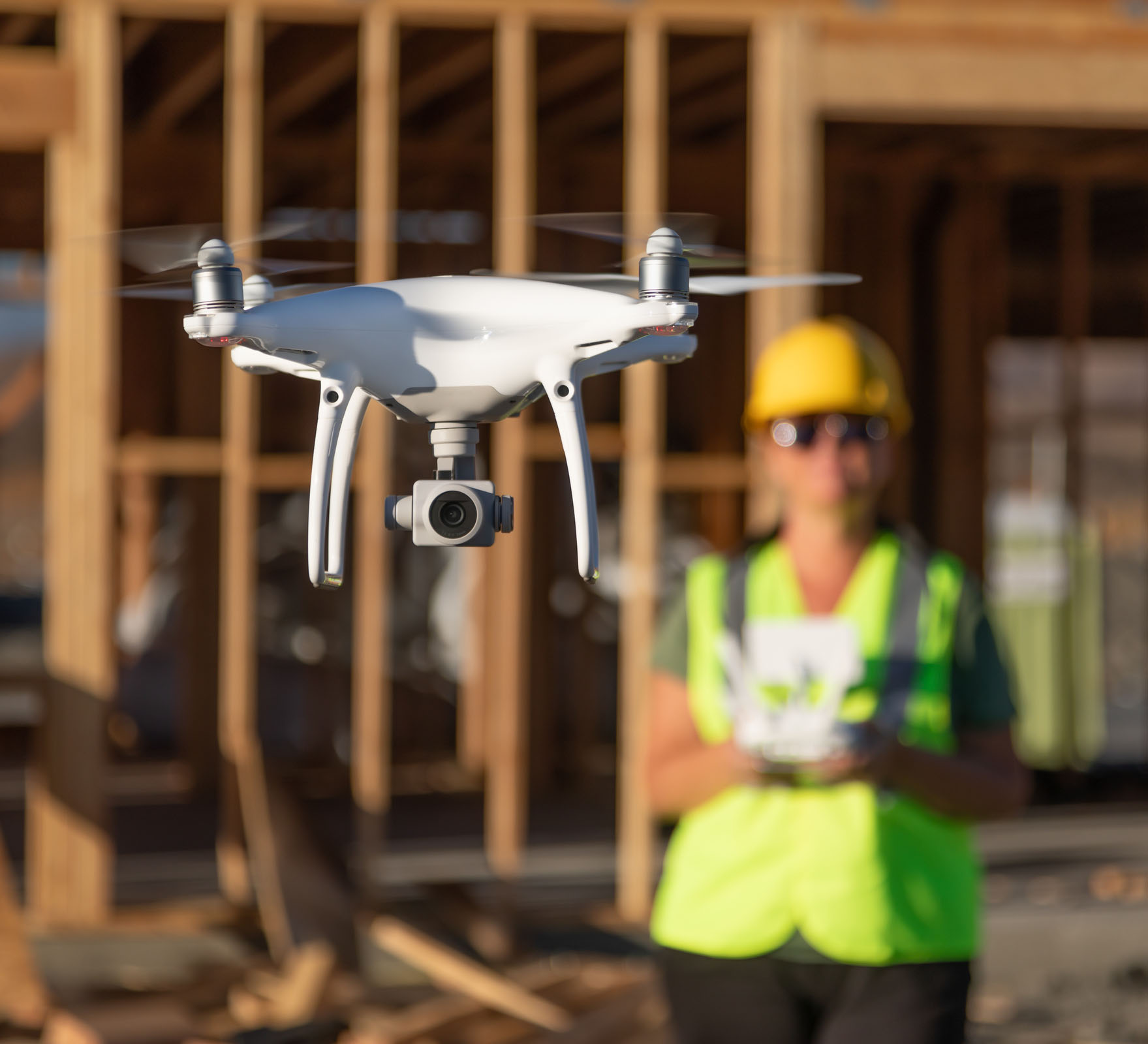
Drones, also known as unmanned aerial vehicles (UAVs), are remote-controlled aircraft equipped with cameras and sensors. They have the capability to fly autonomously or under human control, capturing aerial data and imagery.
GIA’s Measured Survey team uses innovative data capture techniques to gather, analyse, and visualise high-quality data. This enables our clients, such as architects, asset managers, local authorities, and developers, to make well-informed decisions. We operates a diverse fleet of drones, delivering nationwide coverage for a wide range of applications.