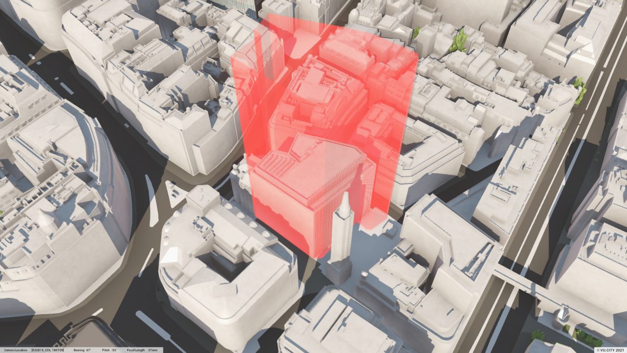
We can deliver clarity and certainty for your investment through precise boundary identification at the earliest stage of development.
- Demystify title plans to provide precise boundary locations
- Determine the ownership and location of a boundary structure
- Accurately feed into the design process with geo-located precision
- Ensure the parameters of the site are maximised to their full potential
- Ensure proposals don’t breach the site boundary now or in the future
- Highlighting constraints or risks to the development
- Inform alterations to the design to support the delivery of your project.
Legal boundaries on title documents are open to interpretation – and therefore often misunderstood. What you think you own may not actually be the case. This can lead to disputes which could prevent you from building your proposed scheme. Boundary mapping can also provide clarity on the extent of land where adjacent to adopted highways. Using forensic mapping tools, GIA’s team will carry out a detailed review of the site boundary conditions and overlay the ownership plans of the site and adjacent properties to identify whether any anomalies exist – quick, accurate, legally binding and cost effective.
Put simply, we know where to draw the line.